Elevating the future of digital twins at UF

(AdobeStock)
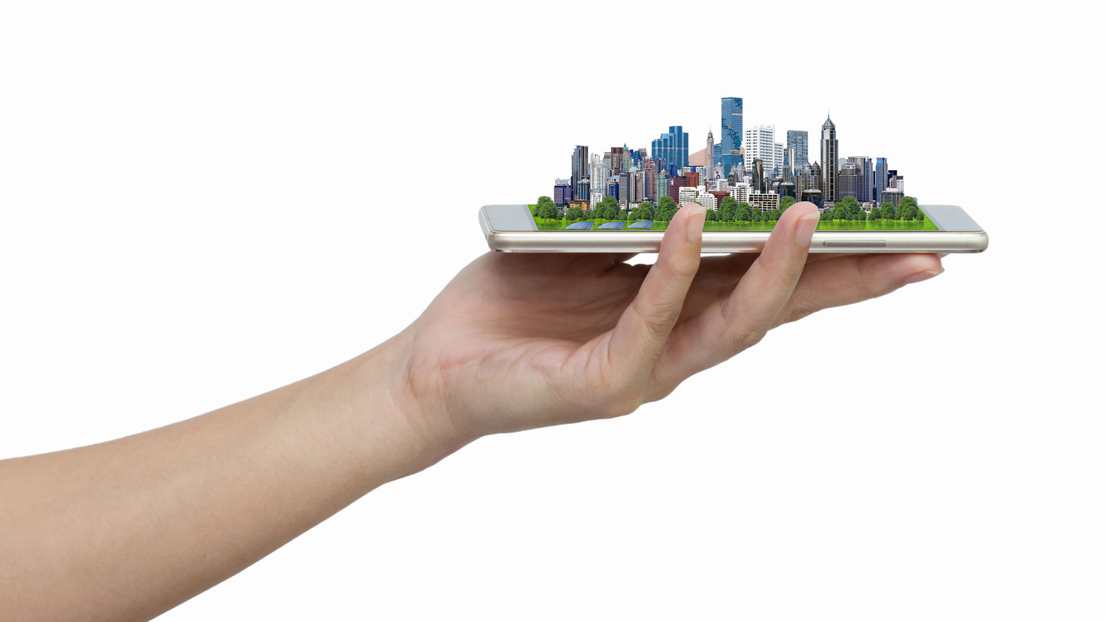
Digital twins are virtual representations of real-life objects or systems that are rendered in enough detail to allow for digital experiments and predictive analysis. Across health care, agriculture, architecture, and the environment, UF researchers are using this powerful simulation technology to improve health outcomes, design more resilient buildings, create tastier strawberries and more pest-resistant crops, and much more.
“Digital-twin technology has become an increasingly critical tool across industries and higher education,” UF Vice President for Research David Norton, Ph.D. said. “AI has the potential to enhance its capabilities even further, and UF is equipped to move us in the right direction.”
State impact
Digital twins can help Florida address some of its most significant challenges, including a growing population, aging infrastructure, and increased vulnerability due to climate variability. The technology can help make informed decisions about Florida’s lands, waters, economies, and communities.
Florida’s Digital Twin
Sasse recently awarded $1.75 million in Strategic Funding to “Florida’s Digital Twin,” a cross-campus collaboration that harnesses UF’s world-class talent, data, and infrastructure to deliver data-driven and impactful guidance for decision-making in Florida.
This effort aims to find solutions to urgent environmental, health, and social issues using technology and artificial intelligence.
Florida Digital Twin Service Corps
With legislative support, UF proposes establishing a “Florida Digital Twin Service Corps” of IT specialists who will serve private industry, government, and university researchers to develop and apply digital twins.
Some of the ways digital twins can help control costs and improve services and the quality of life for Floridians include:
• Planning the state’s transportation grid.
• Monitoring and predicting storm damage in real time, using a constant flow of data from sensors.
• Helping state officials understand, predict, and mitigate damage along the coast from storms, sea level rise, pollution, algae blooms and more.
